Use the search form below to find content on this site.
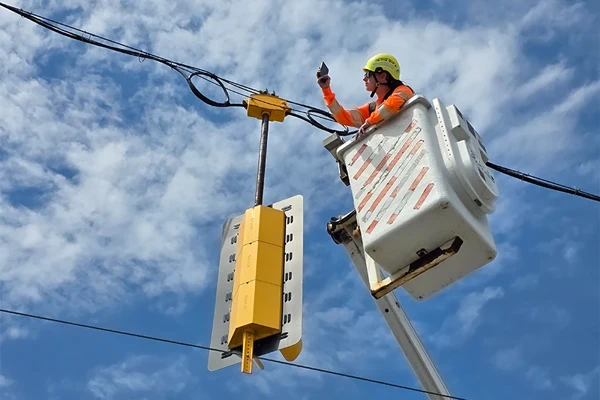
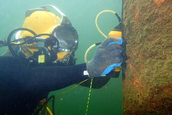
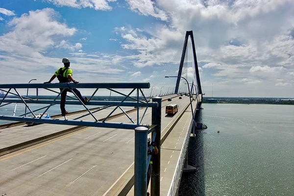
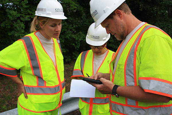
Specialized Inspection Services
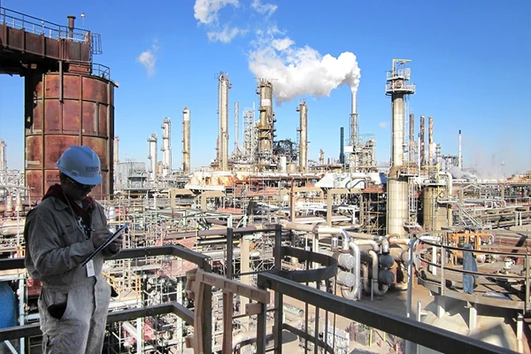
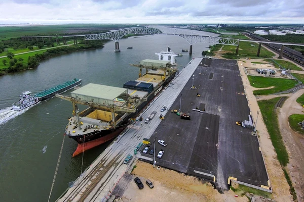
Other Engineering Industries
Explore our specialized civil engineering solutions that deliver technical excellence through practical field experience across commercial retail, healthcare, parks, public works, educational facilities, and residential developments.
Build the Future. Grow Your Career. Make an Impact.
Join a team where your engineering skills directly shape communities as you grow alongside professionals who recognize your potential and value your success.