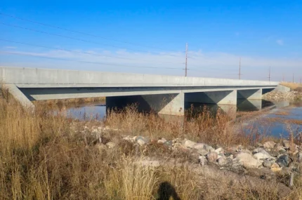
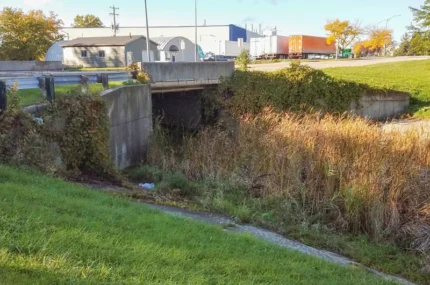
Engineering Services
Collins Engineers provides engineering services in civil, waterfront, transportation, energy, and construction support.
View Our Services
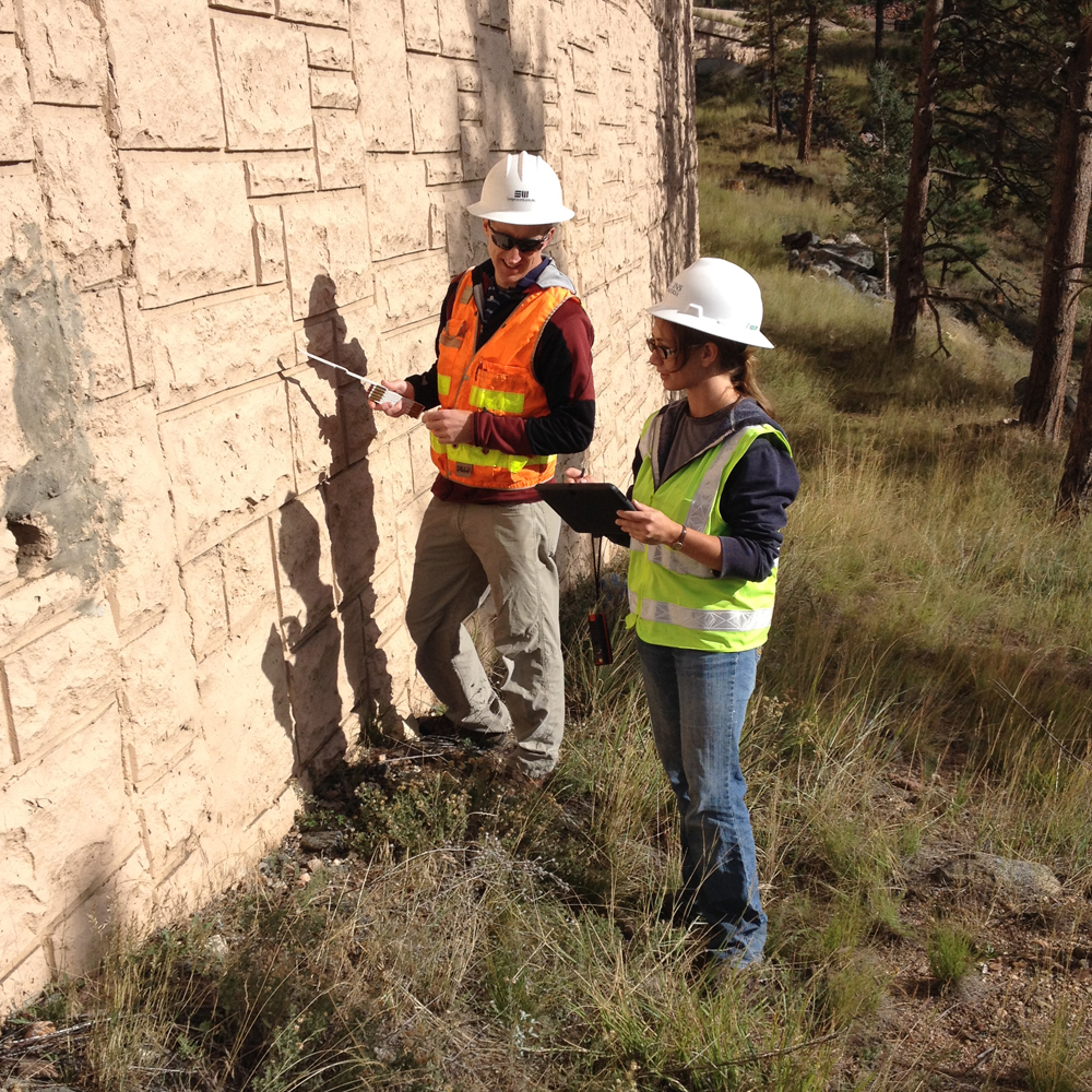
Engineer Your Career
Join our team and experience engineering beyond the desk. Use cutting-edge technology to develop projects that stand the test of time.
Scope of work:
Join a team where your engineering skills directly shape communities as you grow alongside professionals who recognize your potential and value your success.
Start Your Career At Collins